Routing that knows the coast
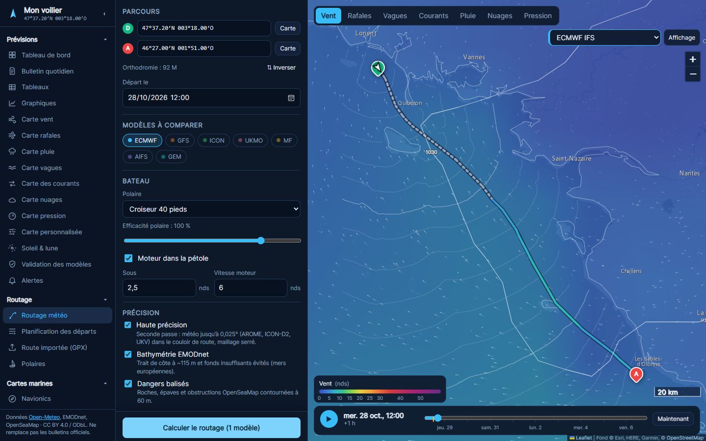
The fastest route for your boat, computed from your polar, hour-by-hour wind and currents. It steers around islands, shoals (EMODnet bathymetry), charted rocks and wrecks, according to your draft.
 FR
Open the app
47°37′N 003°18′W Forecasts & routing
Seven weather models compared side by side, and routing that steers your boat around islands, shoals and foul currents. Free to start, €24 a year for everything.
No credit card · Data from ECMWF, NOAA, Météo-France, DWD, Met Office
Features
The fastest route for your boat, computed from your polar, hour-by-hour wind and currents. It steers around islands, shoals (EMODnet bathymetry), charted rocks and wrecks, according to your draft.
ECMWF, GFS, ICON, Met Office, Météo-France, ECMWF’s AI model and GEM, compared on every chart. When they disagree, you see it.
Compare up to six departure times on the same course: the fastest, the most comfortable, with the wind you will meet.
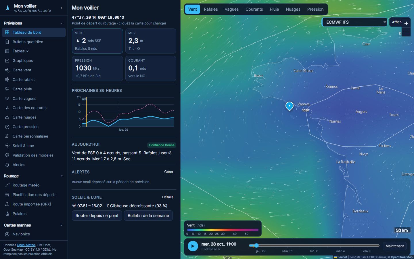
Wind, gusts, waves, currents, rain, clouds and pressure, with a time slider to watch the weather unfold.
Send the route as GPX to Navionics Boating or your chartplotter; import a route to time it.
A written briefing every day, alerts on your own thresholds, and a ranking of the most reliable models where you sail.
In three steps
With a click on the map, or by typing coordinates.
Built-in or imported polar, draft, engine, models to compare.
Arrival time, points of sail, wind and seas along the way; export to Navionics or your chartplotter.
Pricing
No €250-a-year plan here. Cancel in one click, anytime.
Prices in euros, including tax for Europe; taxes are calculated for your country. Secure card payment, right in the app. 14-day free trial of the Coastal plan, no credit card. 14-day money-back guarantee.
FAQ
From the major forecasting centers: ECMWF (Europe), NOAA (United States), DWD (Germany), Met Office (United Kingdom), Météo-France and ECCC (Canada), through Open-Meteo, plus waves and currents from Copernicus. Near the coast, high-resolution regional models (AROME, ICON-D2, UKV) are used where they cover the area.
No. Noroît is a decision aid: forecasts remain forecasts, and the bathymetry knows neither today’s tide nor every rock. Check official forecasts and nautical charts; the skipper decides.
No: Noroît runs in the browser, on computers, tablets and phones. Your boats and settings follow you from one device to another.
Yes, through GPX files: send a computed route to Navionics Boating or your chartplotter, or import a route drawn in Navionics to compute its timings and weather.
In one click from “My account”. Your plan stays active until the end of the paid period.
Yes, with no credit card and no time limit: forecasts from three models over seven days, and two coastal routings a day.
Wind in knots and distances in nautical miles. Depths and waves in feet or meters, pressure in inHg or hPa: your choice in the app settings.